
Walk a DeKalb Street by Address
A useful street search separates ownership, mailing, and presence. The DeKalb County assessor and GIS tools place an address on a parcel. The Recorder index then shows recorded interests and transfers. A voter-registration check is narrower and subject to Illinois limits, while a dated directory or newspaper can support a past presence. None of those sources alone proves a full current household. Run the steps in order and save the exact spelling, date, and source at each stop.
- Standardize the address with the USPS form and preserve variants such as North versus N, Street versus St, and Lincoln Highway versus Route 38.
- Search COMPASS by house number and street name. Save the PIN, which is the parcel identification number, and compare it with the county GIS map.
- Click nearby parcels in GIS. Check the site address, mailing clue, subdivision, tax district, zoning, voting layers, and any split or combined parcel.
- Search the Recorder LRS by address or PIN. Follow grantor, grantee, document date, legal description, and associated-document links.
- Use the official voter lookup only for a known person and lawful purpose. For older household clues, consult dated directories, newspapers, maps, and archives.
This order keeps a modern street directory tied to official geography. When the goal expands from one road to old directory volumes, the DeKalb city directory collections provide the separate historical shelf.
Search DeKalb Parcels Precisely
The DeKalb County property-search hub routes users to COMPASS and wEDGE. COMPASS offers three practical entries into a street directory: parcel number, owner name, and site address. County guidance says to enter a PIN without dashes and to use fewer criteria when a strict search fails. Assessment and sketch data come from township assessors and may be incomplete, so confirm a disputed field with the proper township office.
| COMPASS mode | Fields | Best street use | Search note |
|---|---|---|---|
| Parcel Number | PIN text | Return to one exact mapped parcel | Enter without dashes |
| Name | First Name, Last Name | Find parcels tied to a known owner | Try surname only |
| Site Address | House Number, Street Name | Start from a door number | Minimize criteria |
DeKalb County has 19 townships across 632.7 square miles. That scale matters because township assessors are the first stop for missing or disputed details. In DeKalb Township, the research file identifies the assessor office at 2323 S 4th Street and 815-758-5454, with current details to be checked before a visit.
Map DeKalb Street Records
The county property data and maps directory links the interactive parcel viewer, tax maps, planning maps, political boundaries, street guides, and wEDGE tax data. County descriptions say GIS can search, display, and print property information while adding sales, tax, assessment, zoning, voting, street, and land-use layers. The map also helps spot adjacent lots or a present parcel that no longer matches an older legal description.
- Parcel
- A mapped unit of land with its own PIN and legal description.
- Situs address
- The physical site address, which can differ from the owner's mailing address.
- Plat
- A recorded map that lays out lots, blocks, easements, and subdivision lines.
- Criss-cross directory
- A directory arranged by street or telephone number rather than only by surname.
A county buffer product can provide a map and parcel list with site address, mailing address, and owner names. The listed price is $25. Digital GIS layers are free in the viewer; a data order is listed at a $25 setup charge plus $20 per layer. For custom maps, the research gives gis@dekalbcounty.org and 815-899-0702.
Note: A buffer list is an assessment product and must not be treated or published as a list of present occupants.
Follow DeKalb Deeds by Street
The DeKalb County Recorder LRS advanced search is the deepest official address index in the DeKalb street directory. It accepts grantor and grantee names, subdivision, block and lot, section-township-range, quarter section, address, city, ZIP, PIN, document type, remarks, document numbers, and filed-date ranges. A grantor transfers an interest; a grantee receives one. Search one side alone when a surname is distinct, then follow associated deeds, mortgages, releases, corrections, liens, judgments, or plats.
For a rural tract, street text may be weak. Start with section, township, range, and quarter section, then compare the legal description with a plat. For a subdivision, combine subdivision name with block and lot. The portal warns that parcel numbers may not be correct, so legal wording remains the better bridge across time.
LRS search access does not turn a screen print into an official copy. Online printouts are unofficial. Certified or authoritative copies come from the Recorder counter at 110 E Sycamore Street in Sycamore, phone 815-895-7156. The county's tract-index description says a chain may be followed to the original federal grant.
DeKalb Blocks on the 1891 Map
An old street number can fail even when the building survives. DeKalb began as Huntley's Grove, became a village in 1856, and became a city in 1877. Rail lines, barbed-wire works, and the normal school that began in 1895 changed the city's built form and the words used in records. No complete official crosswalk of former and current street names or numbers was found, so a block, intersection, plat, legal description, or known owner must bridge the gap.
The Library of Congress record for the October 1891 De Kalb Sanborn set identifies seven sheets. Those fire-insurance maps show building footprints, use, and street context, not ownership. Compare a sheet with today's GIS only after the street corner and lot pattern align. Early indexes may spell the place “De Kalb,” while current systems use “DeKalb.”
Adjacent parcels often solve the puzzle. A stable corner lot, shared subdivision, or matching legal boundary can identify the target even when its number changed. Joiner History Room atlases, road plats, photos, and abstracts, plus NIU regional archives, offer the counter and archive fallback when the web map stops short.
DeKalb Permits and Zoning Clues
City records add the event layer to a parcel. The DeKalb building permit page identifies permit categories, though a public historical result index was not exposed. Ask Building for a defined address, permit type, and date range at 815-748-2070. Planning and Community Development handles zoning context at 815-748-2361.
The city building page shows where address-based permit records begin and how residents route a focused inquiry.
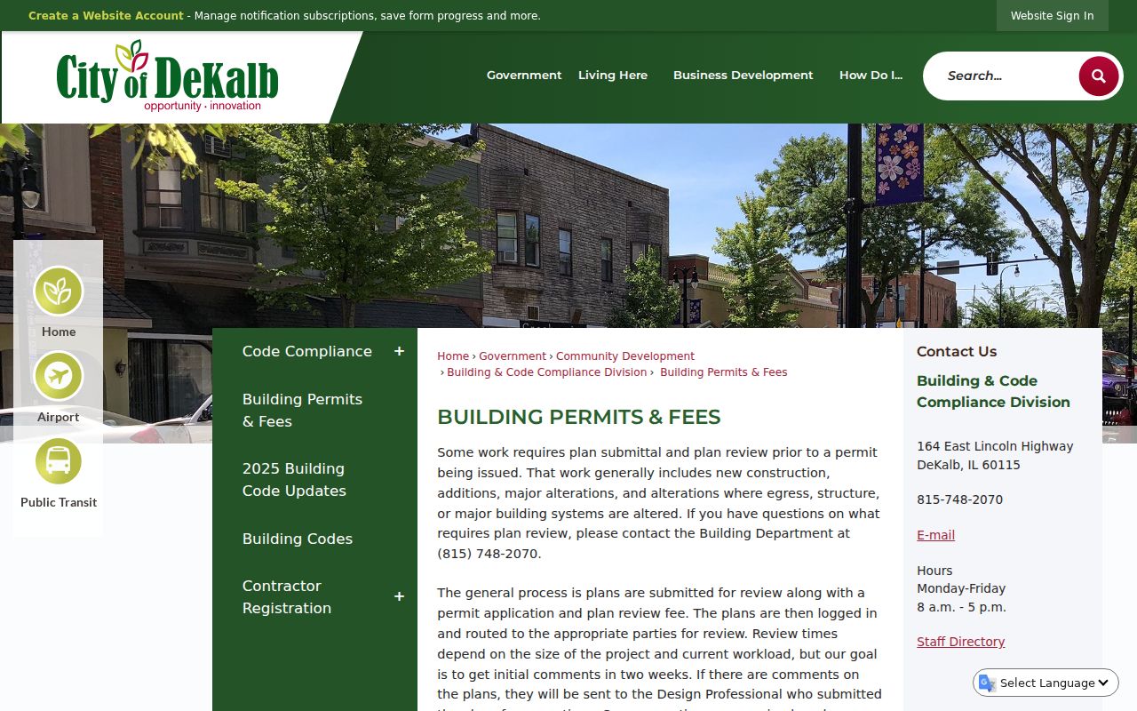
That official page anchors a request to the correct city department instead of relying on an undated property summary.
The DeKalb zoning page links the official and interactive zoning maps, described as updated each year.
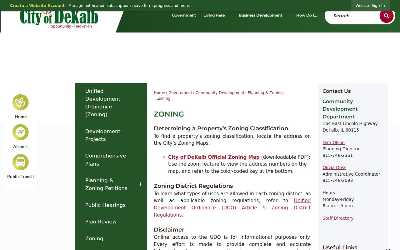
Zoning supplies land-use and district context. It does not name a household. The city's landmark register and the North Fifth Ward and Huntley Park historic districts can add architectural context to a documented address.
Check DeKalb Code Files
The City of DeKalb Code Compliance page is another address-keyed route. Annual PDFs may name an address or an issue, but they do not form a complete building history. A precise Illinois Freedom of Information Act request can seek an existing city record by address, case type, and date range when the page does not answer the question.
The official code page shows the city's current access point for address-based compliance material.
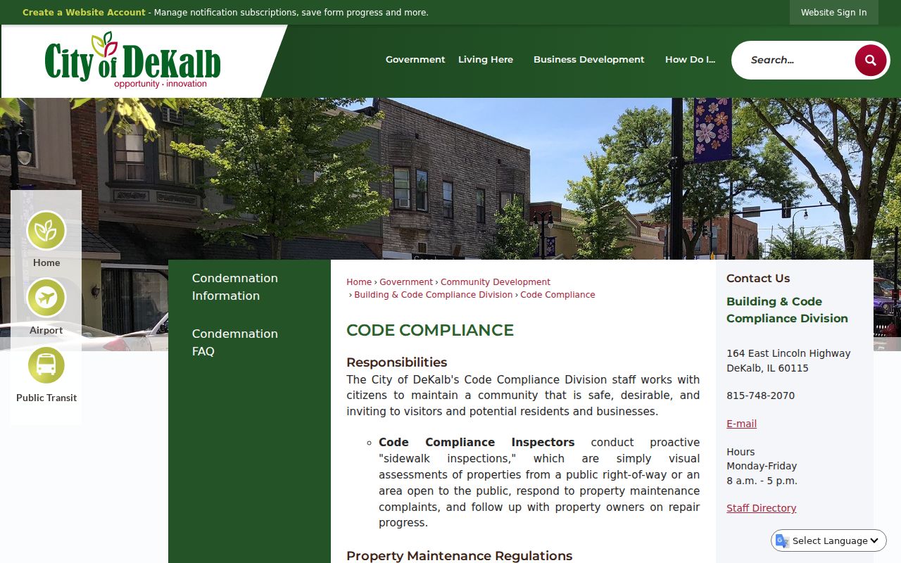
A dated code file may confirm an inspection or municipal action. It should be cited by case and date, not stretched into a claim about who lived there.
Online choices include the city and county street guides, COMPASS, GIS, LRS, zoning, and published code PDFs. Counter choices include the Recorder, township assessor, City Planning, Building, City Clerk, Joiner History Room, and NIU. Phone, email, mail, and a focused city or county FOIA request remain available for an existing record that has not been posted.
DeKalb Street Directory Sources
Each record set answers a different question. The property roll maps an assessed parcel. GIS shows spatial context. A deed records an interest on a date. Election records are restricted and are not a general block roster. City files document municipal action. Historical sources add dated presence clues. Keep those meanings separate when building a street-by-street account.
| Record Set | Keeper | What It Shows | Access |
|---|---|---|---|
| Assessment and tax data | County and township assessors | PIN, site and mailing clues, assessed categories | COMPASS, wEDGE, phone, counter |
| GIS parcel map | County Information Management | Parcel lines, nearby lots, planning and political layers | Free viewer; paid buffer or custom map |
| Recorded instruments | County Recorder | Transfers, mortgages, liens, plats, legal descriptions | Free index; counter for official copies |
| Voter status and maps | County Clerk and State Board | Known-person status; ward, precinct, polling context | Online lookup; office request under state limits |
| Permits, zoning, code | City of DeKalb | Municipal action tied to an address | Web pages, phone, counter, city FOIA |
| Directories and maps | Library, Joiner, NIU | Dated address, footprint, photo, newspaper context | Library or archive; staff request |
The PIN ties the assessment roll to maps and often to recorder searches. The legal description bridges parcel changes. A street name and date link city files to directories and newspapers. When no portal result exists, call the listed office, visit the counter, mail or email a bounded request, or ask library and archive staff for a dated volume.
DeKalb Streets Across Election Maps
The Illinois voter registration lookup requires first name, last name, birth date, and five-digit ZIP. Only after ZIP validation does it reveal street number and street name controls. That design is for checking a known person's registration status. It is not a public street directory and should not be used to assemble a block list.
For map context, the county publishes political-boundary GIS plus city ward, precinct, and polling PDFs. Those sources can explain why adjacent addresses fall in different districts without revealing how anyone voted. The County Clerk Elections office, 815-895-7147 and elections@dekalbcounty.org, handles phone, email, counter, and voter-data questions. Illinois law limits released fields and uses, so ask for the current public inspection rule before seeking a file.
Note: Postal ZIP, city limits, township, ward, precinct, and county-seat office location are separate facts and should be recorded in separate fields.
DeKalb Recording Changes in 2026
The County Clerk and Recorder announced that electronic recording for real-estate documents begins August 3, 2026 for authorized submitters such as title companies and attorneys. The notice concerns how documents arrive at the office. It does not turn the public index into proof of present occupancy, and ordinary searches or certified-copy questions still route to the Recorder.
MyDec-only PTAX submissions began December 1, 2025 under another county notice. That affects transfer-tax paperwork. It does not replace the recorded deed or the assessor and GIS checks. Date each street-directory search because new filings, corrections, parcel combinations, and assessment updates can change what the portals show.
Limits of DeKalb Street Records
A parcel owner may live elsewhere, and a mailing address may belong to a trust, estate representative, institution, relative, or prior address. A deed proves a recorded interest on one date, not a continuous home. A directory entry can point to a residence, office, business, institution, or boarding place. USPS confirms delivery geography, not a person. Permit, zoning, landmark, and code files describe land or city action, not a household.
Motor-vehicle personal data is restricted by the federal Driver's Privacy Protection Act. Illinois election law redacts sensitive voter fields and limits uses. The Illinois Address Confidentiality Program provides qualifying safety victims a substitute address for new agency dealings, though existing property records are not automatically removed. Copy only the minimum detail needed for lawful property, genealogy, civic, consumer-safety, or historical work.
Lawful use. DeKalb address records may be consulted for lawful personal research. Never use them for repeated unwanted contact, surveillance, threats, harassment, or publication of a protected address.
The strongest conclusion comes from two independent sources that match on date, street, parcel, and another identity detail. Label any occupancy conclusion as an inference unless an eligible, authoritative record directly establishes it.