
Sources Around DeKalb Neighbors
The best source depends on the block question. County GIS shows where parcels touch. Assessment data supplies an owner or mailing clue for each parcel. Political and planning layers explain boundaries. City records document public action at an address. Neighborhood Watch and historic-district sources describe civic activity and place, but no official citywide association directory was found. Treat every name as a lead tied to one record date.
| Source | What It Shows About a Block | Access |
|---|---|---|
| County GIS parcel viewer | Adjacent parcels, map layers, site and legal context | Free interactive map; custom products by request |
| COMPASS and wEDGE | PIN, assessment fields, owner and mailing clues | Online; township assessor fallback |
| Political and planning maps | Ward, precinct, polling, zoning, and landmark lines | GIS and official PDFs |
| City address files | Existing permits, code, ordinance, or public safety records | Web, department contact, city FOIA |
| Community and history sources | Watch activity, district context, old block snapshots | City, library, Joiner, NIU |
An assessor mailing name is not occupancy proof. It may identify a trust, estate contact, organization, relative, prior address, or owner who lives elsewhere. A current parcel list is useful for understanding the land around an address. It is not a verified household list.
Map the DeKalb Block Outward
The DeKalb County property-data hub links the GIS parcel viewer, COMPASS, tax maps, planning maps, and political-boundary tools. Start at one verified site address and move outward only far enough to answer the question. County descriptions say the viewer can show property, sales, tax, assessment, zoning, voting, street, and land-use context.
- Normalize the starting address, including direction, street type, unit or lot suffix, and ZIP.
- Find the parcel in COMPASS or GIS and save the PIN, legal description, subdivision, and map position.
- Click the lots on both sides and across the street. Note shared block, lot lines, parcel splits, and combined tracts.
- Add only the needed layer, such as ward, precinct, zoning, landmark, or tax district.
- Verify any owner clue in the assessment data, then use the Recorder only when a deed or legal boundary matters.
A county buffer product can map an area and list site address, mailing address, and owner name for parcels inside it. The research lists a $25 buffer map and parcel list. That product can resolve a split lot or ambiguous boundary, but it should never be republished as a roster of DeKalb neighbors.
Read DeKalb Parcel Clues
Block research becomes more reliable when each map term keeps its narrow meaning. A street number is a delivery and location clue. A PIN points to an assessment parcel. A legal description identifies land through recorded wording. These fields may stop lining up after a split, combination, annexation, or postal change.
- Adjacent parcel
- A mapped property that touches or sits near the starting parcel.
- PIN
- The parcel identification number used in county assessment and mapping systems.
- Situs address
- The physical site address, which may differ from the owner's mailing address.
- Buffer
- A measured area drawn around a parcel to select nearby mapped features.
- Legal description
- The recorded land description based on lots, blocks, subdivisions, or survey geography.
For a rural parcel, section, township, range, and quarter section may work better than a road name. For a subdivision, compare subdivision, block, and lot. The Recorder portal warns that a parcel number may not be correct, so verify it against the legal description before tying two records together.
DeKalb Neighbors Across Civic Lines
People on the same block can fall on different sides of a ward, precinct, zoning, tax, or historic-district boundary. The county publishes political-boundary GIS along with city ward, polling, and precinct PDFs. Those maps show civic geography. They do not reveal ballot choices or create a public list of people by block.
The Illinois voter registration lookup asks for a known person's first and last name, birth date, and ZIP before displaying street controls. The County Clerk Elections office handles phone, email, counter, and current voter-data questions at 815-895-7147 and elections@dekalbcounty.org. Illinois law redacts sensitive fields and restricts voter data, so the public form is not a tool for collecting nearby names.
Map lines can still answer useful questions. They show which ward or precinct serves an address, whether a zoning line cuts through the block, and which public body may hold a record. When a posted map is unclear, request a current map or existing boundary record from City Planning, the City Clerk, County GIS, or Elections.
DeKalb Neighborhood Watch Connections
The City of DeKalb Neighborhood Watch page describes citizen involvement, meetings, block parties, and safety activity. It is a route into public community contact, not a directory of every association or household.
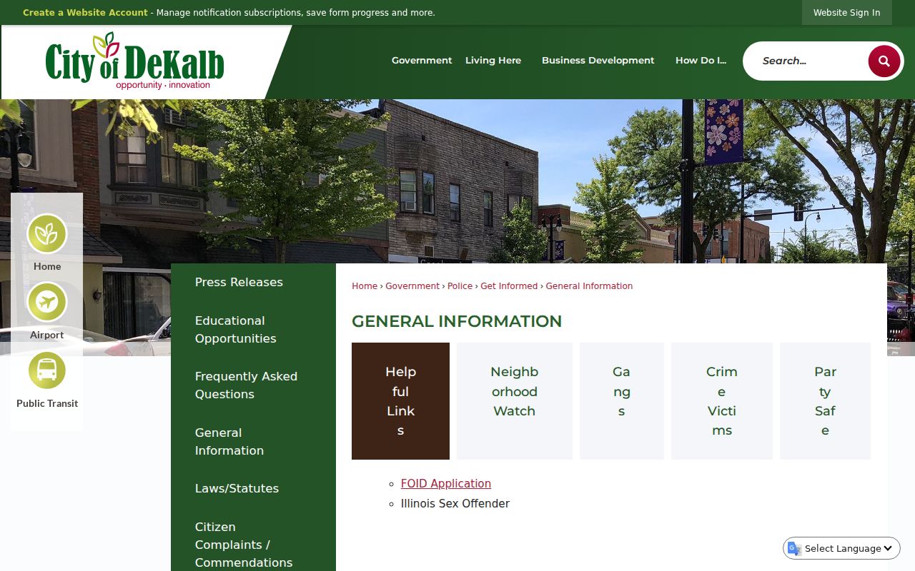
The official page gives a safer way to meet DeKalb neighbors through an open civic program instead of collecting private contact details.
| Community route | What it provides | Access path |
|---|---|---|
| Neighborhood Watch | Public safety participation, meetings, and block activity | City information page |
| City Planning or Clerk | Existing ward, neighborhood, ordinance, or organization records | Phone, counter, or focused city FOIA |
| Library and Joiner | Directories, newspapers, photos, maps, and local subject files | Research-room or staff request |
No official all-neighborhood association directory or street-to-association map was found in the research. For a named group, seek its official public contact. For an area with no identified group, ask the city for an existing ward or neighborhood record rather than assuming one exists.
Historic DeKalb Neighborhood Context
The DeKalb Landmark Commission page supplies public district and landmark context. The research identifies the North Fifth Ward Historic District north of Lincoln Highway and west of First Street, plus Huntley Park around South Second, South Third, and Franklin. A district can help explain shared building patterns and review history, but it says nothing about a current occupant.
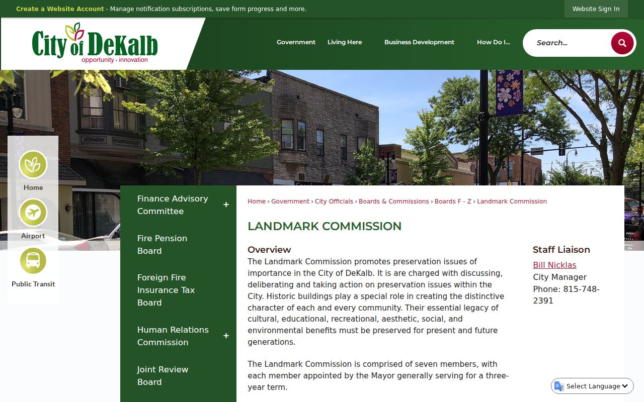
This source links a block to civic preservation records and adopted landmark context rather than to private household claims.
The 1891 De Kalb Sanborn map record contains seven sheets. It can show old footprints and uses on a documented block. Compare its street corner and lot pattern with present GIS before connecting an old building to a modern parcel. Search both “De Kalb” and “DeKalb” in older catalogs.
Official Sources for DeKalb Neighbors
Commercial neighbor-search pages often merge old addresses, copied phone data, and names from unclear sources. Their confidence scores do not replace a parcel map, deed, dated directory, or city record. Official tools are narrower, but each one names its custodian and gives a path to correct or verify the underlying record.
| Source type | Useful for | Main limit |
|---|---|---|
| County GIS and assessment | Parcel position, PIN, owner or mailing clue | Does not prove a household |
| Recorder and city files | Recorded interest or dated public action | Event record, not constant presence |
| Library and archive | Historical block and dated address context | May require a visit or staff help |
| Commercial category | Possible starting lead | Source, age, and accuracy may be unclear |
Use the official URL, record date, agency contact, and case or parcel number when available. That trail makes a correction possible. It also reduces false matches between people who share a name or once used the same mailing address.
Request DeKalb Block Records
When an online source stops at a map or landing page, ask the office that created the record. County GIS can answer map and parcel-product questions at 815-899-0702, while paper tax-map help routes to 815-895-7123. A township assessor handles missing or disputed assessment detail. City Planning, Building, Code Compliance, the City Clerk, the county Recorder, Joiner History Room, and NIU each hold different parts of the block story.
The City of DeKalb records request page is the official route for an existing city address record that is not posted.
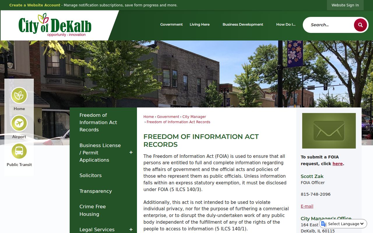
The page helps route a focused request by department. State the address, record type, date range, and preferred delivery format, and ask the city to redact protected third-party details.
County and city requests are separate under the Illinois Freedom of Information Act. Mail, email, phone, and counter access remain valid alternatives. Library and archive staff can help with directories, maps, newspapers, and photos when an official portal has no historical image.
Privacy Around DeKalb Neighbors
Public records can contain a name and address without providing a safe current address. Keep only the detail needed for property, genealogy, civic, historical, or personal safety research. Do not combine voter, assessment, registry, directory, and social claims into a new private profile. A deed or assessor name does not establish every person at an address.
The Illinois Address Confidentiality Program provides qualifying safety victims with a substitute address and mail forwarding. It can protect new agency transactions, but existing property records are not automatically erased. Voting privacy requires a separate ACP process. Never place a suspected protected address in an email or broad public-record request.
Lawful use. Research about DeKalb neighbors must remain personal and lawful. Never turn public records into unwanted contact, monitoring, intimidation, threats, or disclosure of a protected location.
The safest output is a source trail, not a neighborhood roster. Record which office held the item, when it was checked, and what the source actually proves. If the facts conflict, stop and ask the custodian about correction, redaction, or confidential-record procedures.